
 Auckland Council
Map
Auckland Council
Map
´
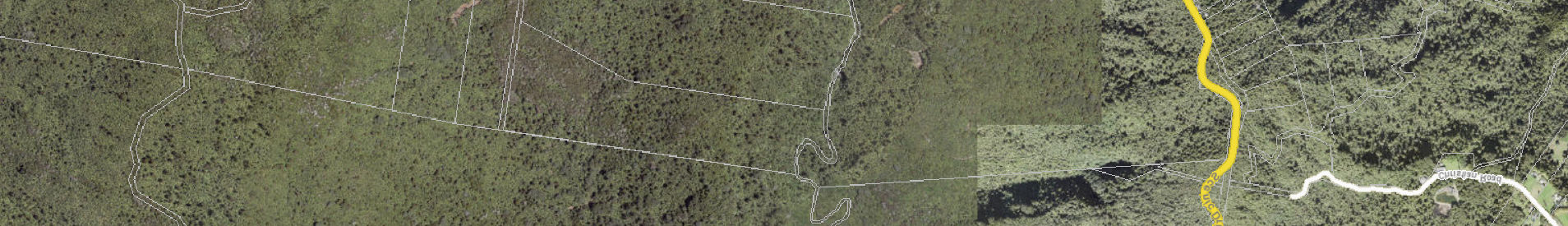
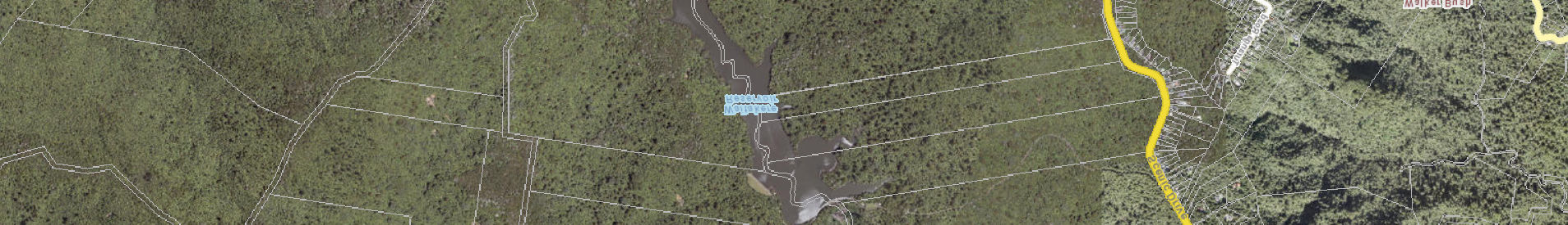
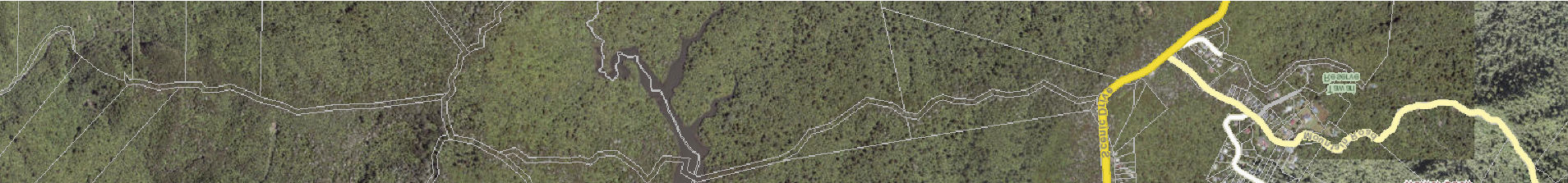
Upper Kauri
Fence Line
Long Road
0
160
320
480
DISCLAIMER:
This map/plan is il ustrative only and al information should be
Meters
independently verified on site before taking any action. Copyright
Auckland Council. Land Parcel Boundary information from LINZ
Scale @ A3
(Crown Copyright Reserved). Whilst due care has been taken,
Montana Works
Auckland Council gives no warranty as to the accuracy and plan
= 1:15,000
completeness of any information on this map/plan and accepts no
liability for any error, omission or use of the information.
Date Printed:
Height datum: Auckland 1946.
7/03/2024